
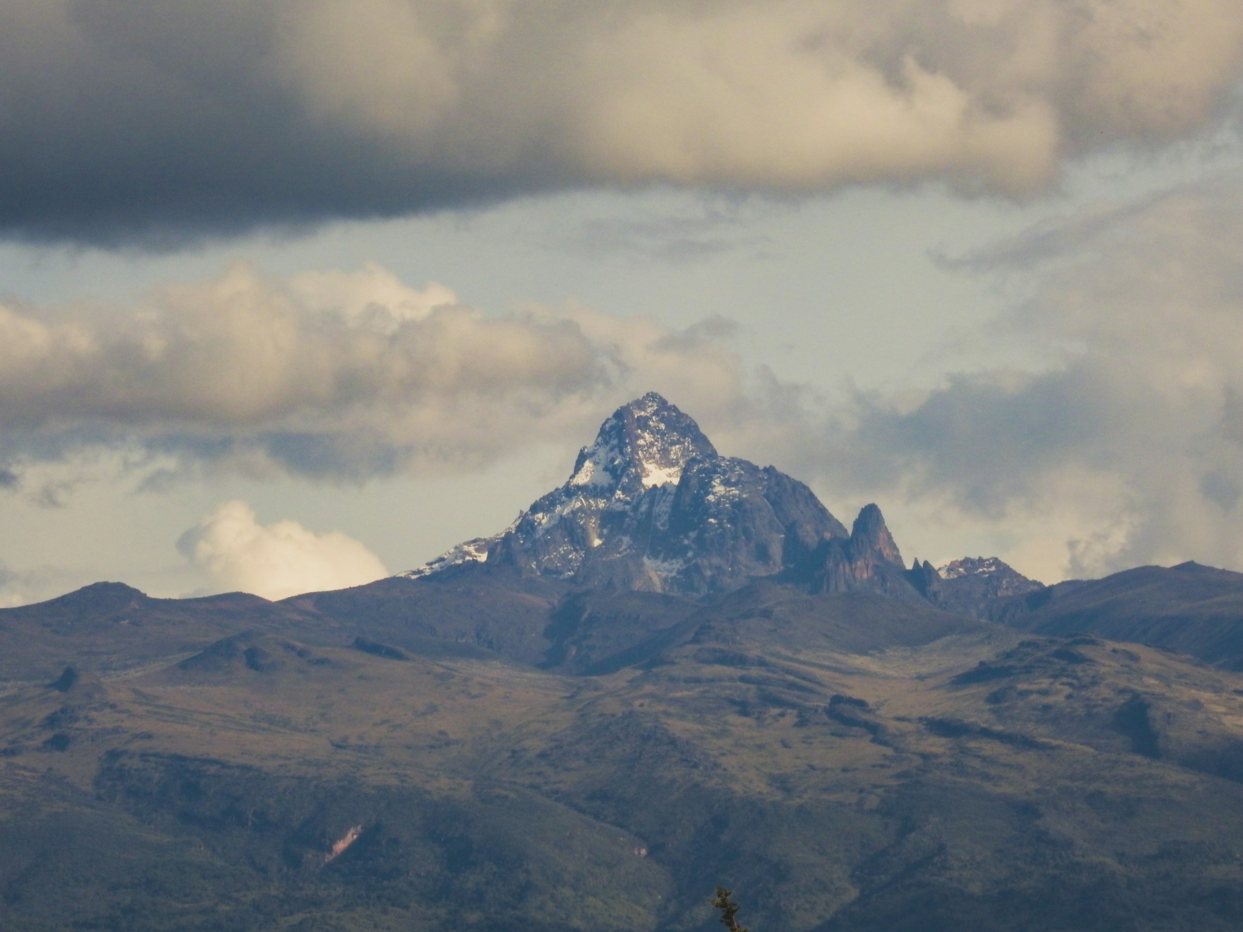
Six routes · One mountain
Choose your route
Six distinct paths to Point Lenana (4,985 m). From the drier northern Sirimon corridor to the dramatic lake-filled Gorges Valley on Chogoria - compare them below and find the one that fits your schedule, fitness, and appetite for scenery.
Burguret Route
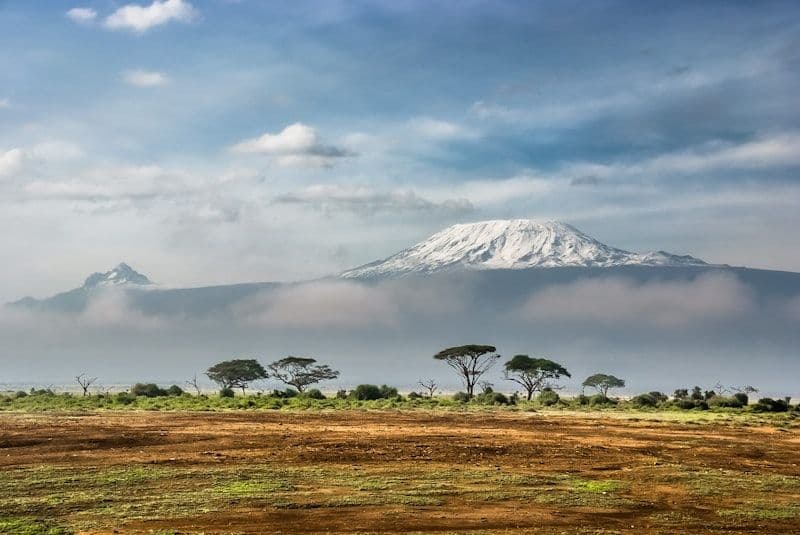
A quiet, off-the-beaten-path approach through dense forest and bamboo. Very few groups — genuine wilderness.
View route details →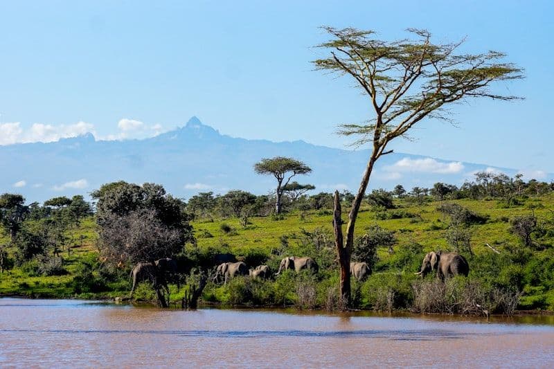
Chogoria Route
Lake Michaelson, Gorges Valley, and the Nithi Gorge. The most visually dramatic approach to the peaks.
View route details →Chogoria–Naro Moru Traverse
Absorb Chogoria's dramatic gorges and alpine lakes on the ascent, summit via Austrian Hut, then descend efficiently via Naro Moru.
View route details →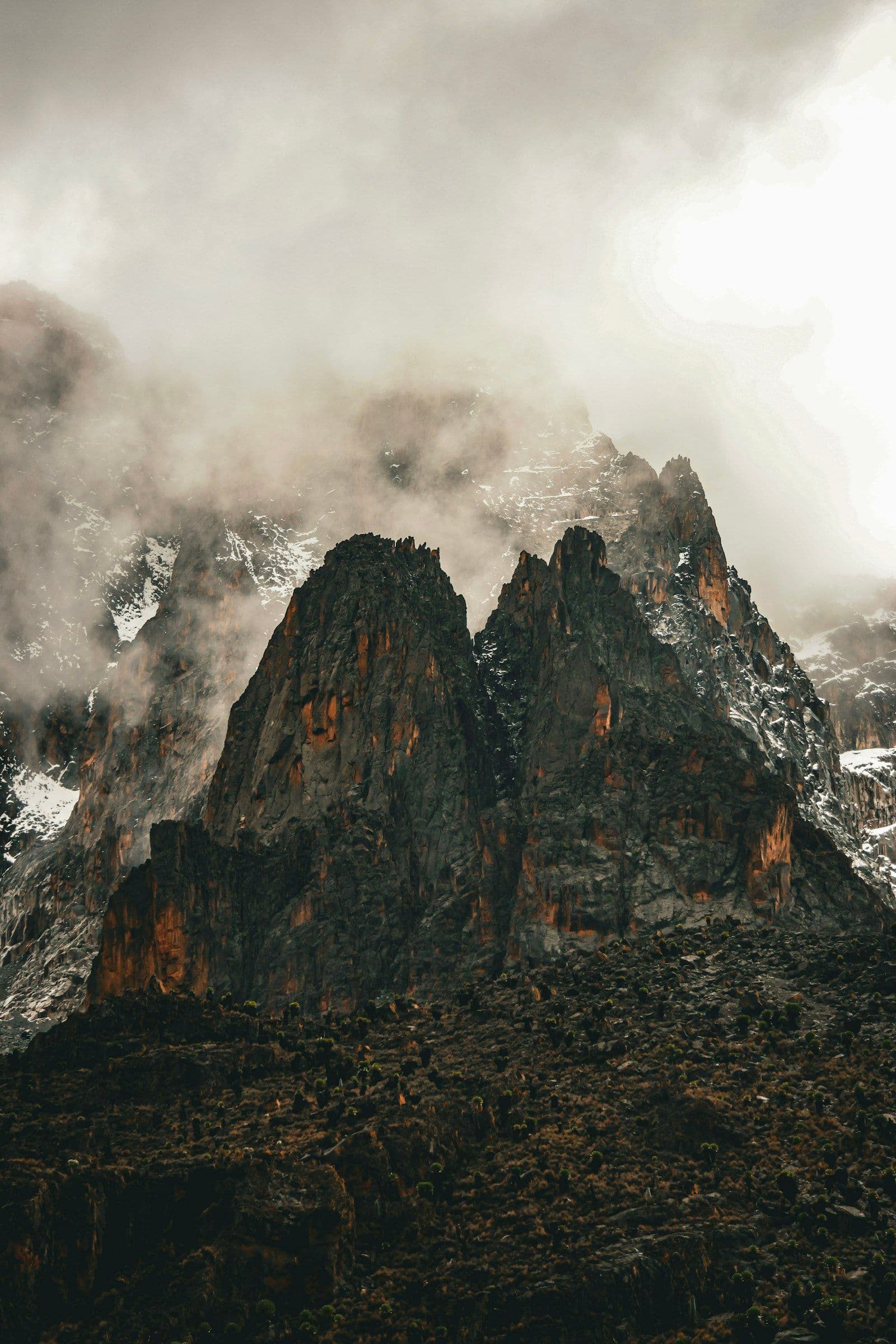
Chogoria–Sirimon Traverse
Ascend via Chogoria's scenery, descend on Sirimon's drier ground. The classic traverse for those who have the time.
View route details →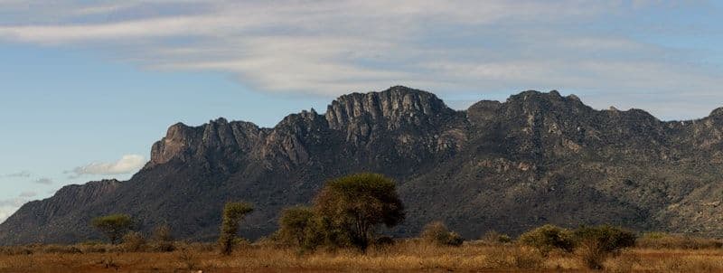
Naro Moru Route
The shortest and steepest route. Higher AMS risk due to rapid ascent — best for acclimatised or time-constrained trekkers.
View route details →Naro Moru–Sirimon Traverse
The fastest traverse on the mountain. Ascend Naro Moru's steep western corridor, summit Lenana, then cross to Sirimon for a gentler descent.
View route details →North Face Route – Batian
Mount Kenya's classic technical mountaineering objective. Seven belayed pitches (Grade 5.7–5.9) on the North Face lead to the true summit of Batian.
View route details →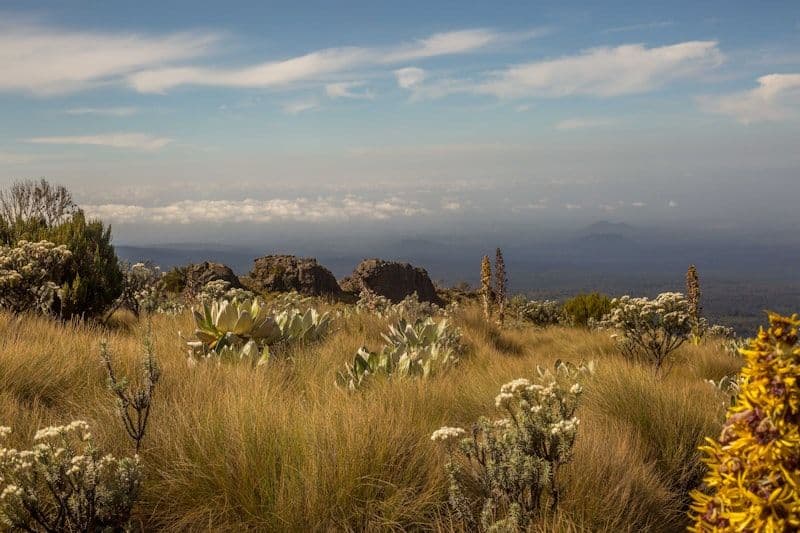
Sirimon Route
The driest approach, with gradual acclimatisation through open moorland. The standard choice for first-time trekkers.
View route details →Sirimon–Chogoria Traverse
Ascend the dry northern slopes via Sirimon, summit Point Lenana, then descend through Gorges Valley and Lake Michaelson on the scenic Chogoria side.
View route details →Sirimon–Naro Moru Traverse
Gradual northern ascent via Sirimon and Likii North, summit Point Lenana in the pre-dawn hours, then descend rapidly via the Naro Moru corridor.
View route details →South East Ridge – Nelion & Batian
The MacKinders Route on the South East Ridge — considered easier than the North Face but equally rewarding. Seventeen-plus belayed pitches on good rock to Nelion and Batian.
View route details →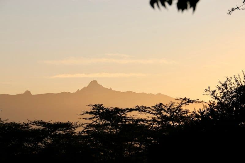
Timau Route
A long northern approach with sweeping views of the Laikipia plateau. Rarely crowded.
View route details →Timau–Chogoria Traverse
A wildlife-rich northern approach through open savanna and alpine moorland, ascending via Timau and descending through Chogoria's lush eastern forests.
View route details →Difficulty key
Suitable for fit beginners with no prior altitude experience
Prior trekking experience at altitude recommended
Not sure which to pick?
Read our route comparison guide
We break down each route by difficulty, scenery, cost, and season - so you can make the right call before you book.